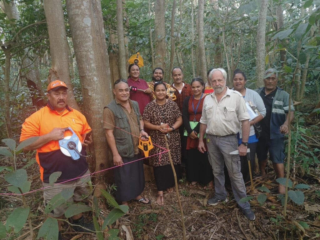
Recent advances in satellite imagery and Artificial Intelligence analysis may be key to preserving Tonga’s forests according to a recent workshop at Tonga’s Forestry Division. The workshop, facilitated by the Global Green Growth Institute (GGGI) focused on improving Tonga’s National Forest Inventory (NFI) approach.
The workshop included the handover of the National Forest Inventory Document to the government and training on satellite imagery. The NFI aims to support the sustainable management of Tonga’s forests and tree resources. Workshop participants highlighted the importance of documenting forest data collection methods and practices following previous training sessions.
Mr. Tu’usolo Tonga, Acting Head of the Forestry Division, said, “We are progressing towards the start of our national forest inventory, and it is exciting to have support to deliver something that has been a priority for the Government for over ten years now.”
The project also focuses on assessing the carbon sequestration potential of forests and mangroves using satellite imagery. Norbert Maass, GGGI’s Country Representative, emphasised the cost-effectiveness and reliability of high-resolution satellite images for establishing a detailed forest inventory.
GGGI will continue supporting Pacific Island countries in achieving sustainable, low-carbon, and climate-resilient goals through Nationally Determined Contributions (NDC) Investment Plans and Monitoring, Reporting, and Verification (MRV) support.


