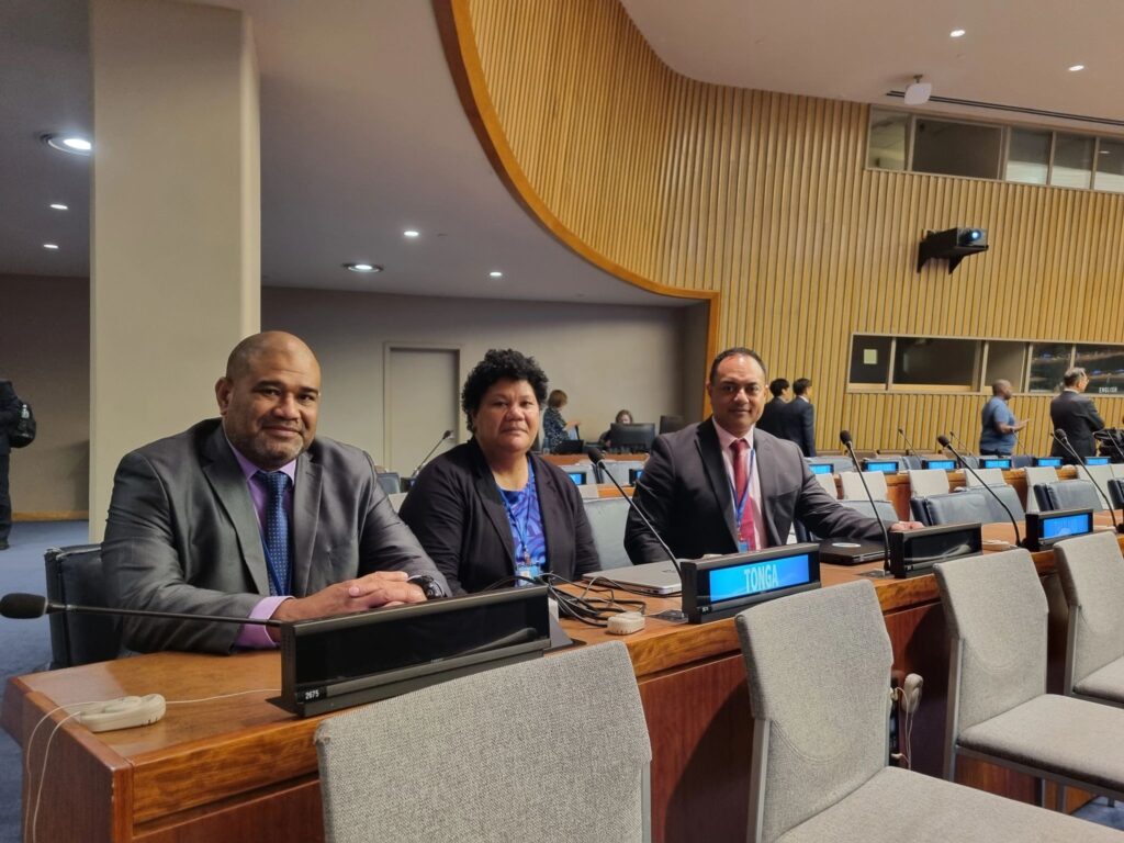
Improving Tonga’s capacity for disaster risk reduction, environmental conservation, and sustainable development were key takeaways for Tonga’s Ministry of Lands, Survey, Planning, and Natural Resources (MLSPNR) delegation at the Fourteenth Session of the United Nations Committee of Experts on Global Geospatial Information Management (UN-GGIM) held last week at the UN Headquarters in New York.
Tonga’s delegation, led by Taniela Kula, CEO of the MLSPNR engaged in discussions toward increased resilience and sustainability, issues important for Small Island Developing States (SIDS).
The Ministry said in a statement that the key outcomes for Tonga from this Session included improved geospatial capabilities through knowledge exchange with international experts, improved coordination with other Member States, and access to global geospatial resources and frameworks. These benefits will add value to Tonga’s national development strategies, disaster risk reduction, and environmental sustainability.
The UN-GGIM Session served as a platform for dialogue on global geospatial information management, focusing on advancing Sustainable Development Goals (SDGs) and strengthening the United Nations Integrated Geospatial Information Framework (UN-IGIF).
The UN-GGIM Session also provided capacity building and training for the delegation, which is needed for developing the Ministry’s local expertise in geospatial sciences and strengthening Tonga’s overall geospatial information management.


